Signpost showing Gurten Kulm and Wabern with hiking times
Gurten hill with views of hiking trails and the Swiss Alps
Signpost indicates where Gurten circular trail begins

Hiking in Bern

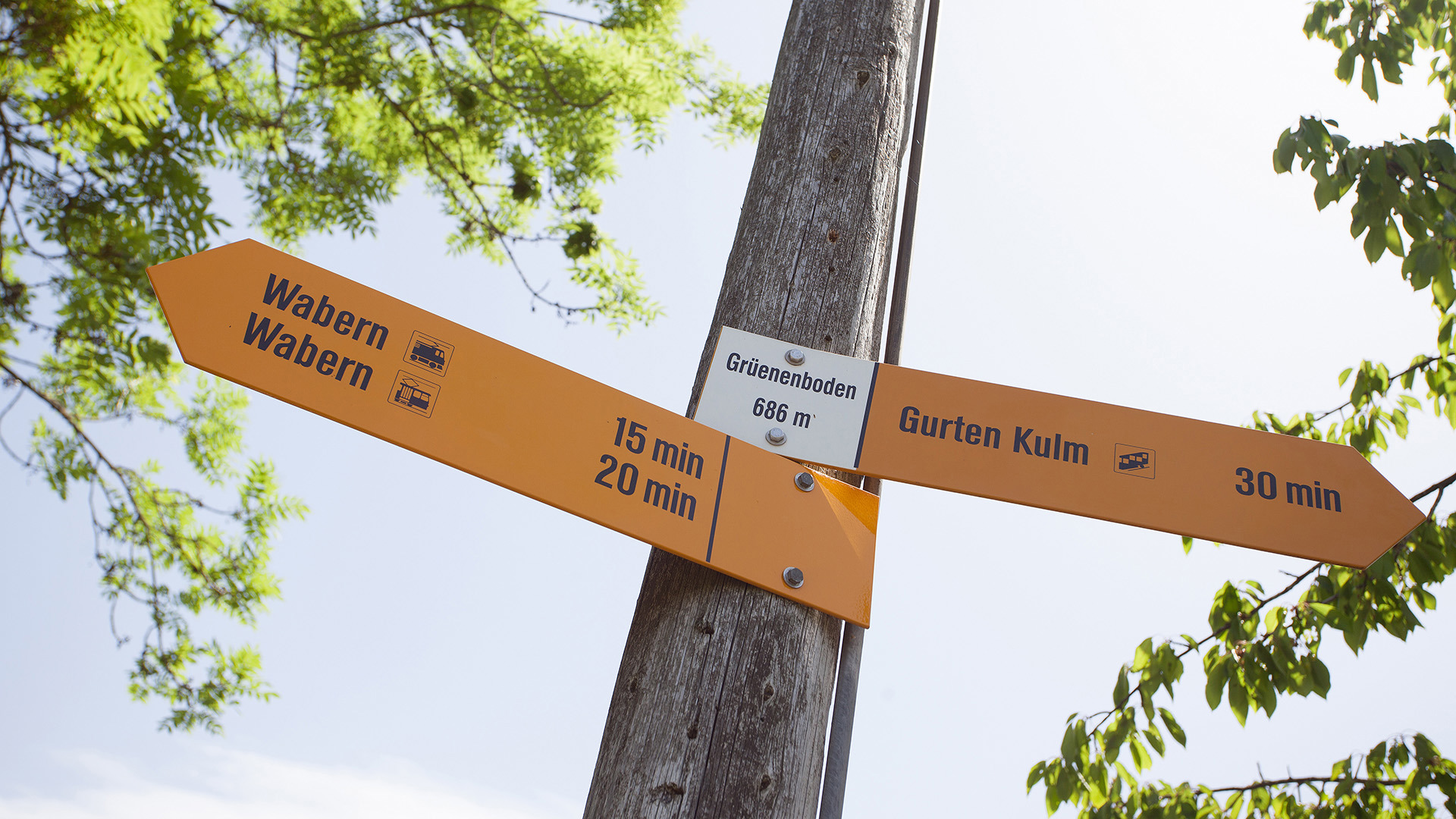
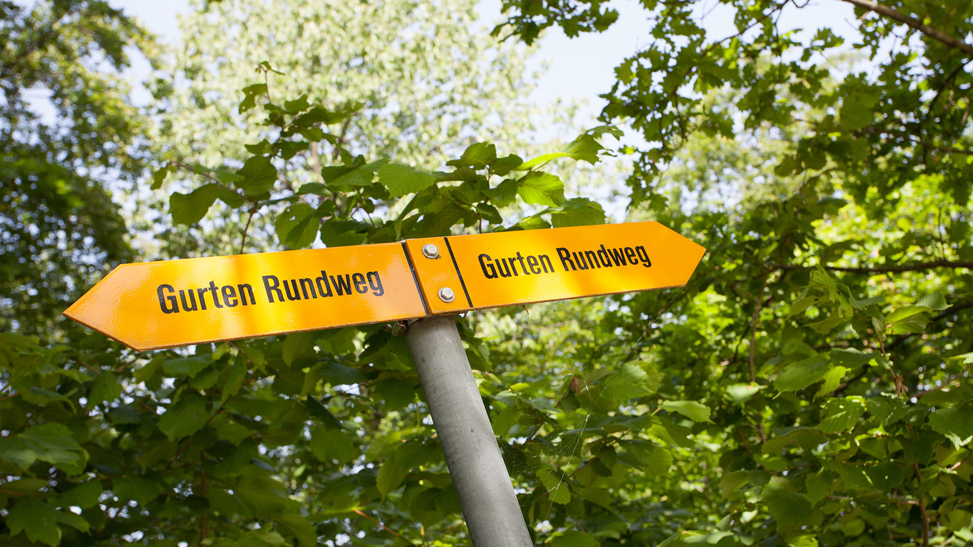
Hiking trails on the Gurten

Local hiking trip

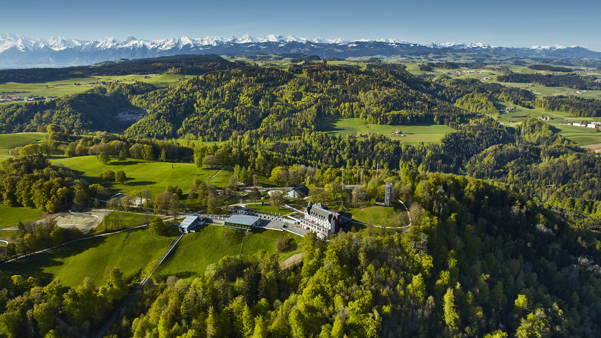
Hiking enthusiasts and walkers will find a wide range of routes on the car-free Gurten. The hiking trails are signposted by the Berner Wanderwege association. The Gurten is located 316 metres above Bern and is therefore 858 metres above sea level at its highest point, the Ostsignal.

The hikes and walks presented here are suitable for different needs. Most of the routes are easy and can be done with children. Only the descent in the Grüenebodewald forest (route no. 3) is reserved for experienced hikers and should only be undertaken in dry weather.


All year round daily, 07.00–21.30

To protect wildlife, we kindly ask you not to use the hiking trails at night.
The hiking trails are not illuminated.


free of charge  

No. 1 Gurten circular trail | Gurtenbahn mountain station 3.2 km | Difficulty: easy Hiking time: 1 hour
No. 2 Sommerfrische | Gurtenbahn mountain station-Blinzern 5.8 km | Difficulty: medium Hiking time: 1 hour 30 minutes
No. 3 Gurten Tour | Gurtenbahn mountain station-valley station 7.4 km | Difficulty: challenging Hiking time: 2 hours 10 minutes
No. 4 Gurten Classic | Gurtenbahn mountain station – valley station 3.8 km | Difficulty: easy Hiking time: 1 hour
No. 5 Winter Magic | Gurtenbahn mountain station – valley station 5.8 km | Difficulty: easy Hiking time: 1 hour 30 minutes
No. 6 Alpine view | Gurtenbahn mountain station – Kehrsatz railway station 4.4 km | Difficulty: medium Hiking time: 1 hour 10 minutes
Hiking map

Smartrail – the puzzle trail for families. Solve the puzzles set by Mia, the narrow-gauge railway driver, and you will be rewarded with a surprise gift when you reach your destination. Smartrail was developed in cooperation with BLS and runs from Kehrsatz to Gurten.

More about the Smarttrail